7-Day Lemosho Route Trek Mount Kilimanjaro

7-Day Lemosho Route Trek Mount Kilimanjaro

Tanzania flag Tanzania 7 Days / 6 Nights Mid-Range Private + Shared/Group + Self Drive
Kiwia Africa Tour logo
Offered by Kiwia Africa Tour
No reviews yet
From $1,920 per person
Get a Free Quote
Get a Free Quote

Tour Overview

What Makes This Safari Stand Out

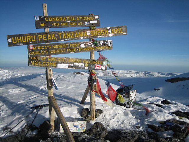
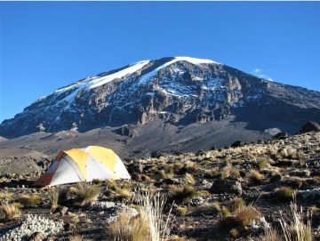
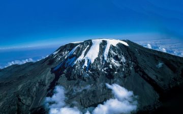
Trek the scenic Lemosho Route through lush rainforest, open moorland and the beautiful Shira Plateau. Enjoy changing mountain landscapes as you climb higher, reach Uhuru Peak at 5,895 m, and take in the incredible views from the Roof of Africa. Experience peaceful nights on the mountain with a professional crew before descending through Mweka Route after your successful summit.
  • Duration7 Days
  • Tour StartMoshi Town
  • Tour EndMoshi Town
  • TransportMinivan
  • Travel StylePrivate + Shared/Group + Self Drive
  • Tour ComfortMid-Range

Where You'll Go

Safari Route Map

An approximate route through this itinerary's destinations, day by day.

Experience Types

Included Safari Activities

Pricing

Group Size & Age Pricing

Age policy and group-size pricing stay here in the main content, while the sidebar focuses only on live quote estimation.

Group Size Adult (per person) Child (per person)
1 Person $1,920 N/A (solo)
2 People $1,920 $1,690
3 People $1,920 $1,690
4 People $1,920 $1,690
5 People $1,920 $1,690
6+ People $1,920 $1,690
Age Policy: Adult: 18+ years Child: 5-17 years Free Child: 0-4 years

Day By Day

7 Day Itinerary

Day 1 Lemosho Gate to Mti Mkubwa Camp Main Destination: Mount Kilimanjaro

After breakfast, we drive to Londorossi Gate for registration before continuing to the Lemosho trailhead. The trek begins beneath tall trees, with birds calling from the forest and thick vegetation along the path. The trail can be muddy after rain, so take your time and enjoy the surroundings. This first day is designed to help you ease into the climb rather than rush.

Starting altitude: Approximately 2,100 m

Ending altitude: Approximately 2,650 m

Distance: Approximately 6 km

Trekking duration: 3–4 hours

Environment: Dense montane rainforest

Climate: Warm, humid, and sometimes misty

Accommodation
Meals BreakfastLunchDinner Drinks Bottle Water
Day 2 Mti Mkubwa Camp to Shira 1 Camp Main Destination: Mount Kilimanjaro

The trail gradually leaves the forest behind as you climb onto the Shira Plateau. The trees become shorter, the landscape opens up, and the views begin to stretch across the surrounding hills. You will notice the air getting cooler as you gain height. Walk at a comfortable pace, drink water regularly, and let your body adjust to the altitude.

Starting altitude: Approximately 2,650 m

Ending altitude: Approximately 3,610 m

Distance: Approximately 8 km

Trekking duration: 5–6 hours

Environment: Rainforest changing into heathland and open moorland

Climate: Cooler and windier as you gain altitude

Accommodation
Shira 1 Camp Camp Mid-range
Meals BreakfastLunchDinner Drinks Bottle Water
Day 3 Shira 1 Camp to Shira 2 Camp Main Destination: Mount Kilimanjaro

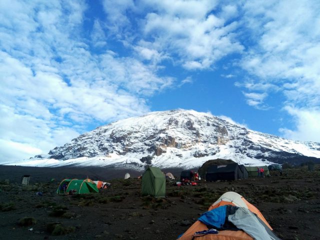
Today is a shorter trekking day, giving you time to enjoy the wide-open scenery of the Shira Plateau. On a clear day, you may see impressive views of Kibo, the main volcanic cone of Kilimanjaro. The ground is more open and rocky than the forest trails below. Although the walk may feel easier, the altitude is increasing, so keep a steady pace and tell your guide if you feel unwell.

Starting altitude: Approximately 3,610 m

Ending altitude: Approximately 3,850 m

Distance: Approximately 7 km

Trekking duration: 3–4 hours

Environment: Open moorland and the Shira Plateau

Climate: Cool, with strong sunshine and possible wind

Accommodation
Shira 2 Camp Camp Mid-range
Meals BreakfastLunchDinner Drinks Bottle Water
Day 4 Shira 2 Camp to Lava Tower, Then Barranco Camp Main Destination: Mount Kilimanjaro

This is an important acclimatization day. We climb towards Lava Tower, gaining significant altitude before descending to Barranco Camp. You may feel the effects of the thinner air, so your guide will encourage you to walk slowly and take regular breaks. The descent helps your body begin adjusting to the altitude. As you approach Barranco, the impressive Barranco Wall rises above camp, giving you a glimpse of tomorrow's trail.

Starting altitude: Approximately 3,850 m

Highest point: Approximately 4,630 m at Lava Tower

Ending altitude: Approximately 3,960 m

Distance: Approximately 10–12 km

Trekking duration: 6–8 hours

Environment: Alpine desert, rocky slopes, and dramatic volcanic scenery

Climate: Cold, dry, and often windy at higher elevations

Accommodation
Barranco Camp Camp Mid-range
Meals BreakfastLunchDinner Drinks Bottle Water
Day 5 Barranco Camp to Karanga Camp Main Destination: Mount Kilimanjaro

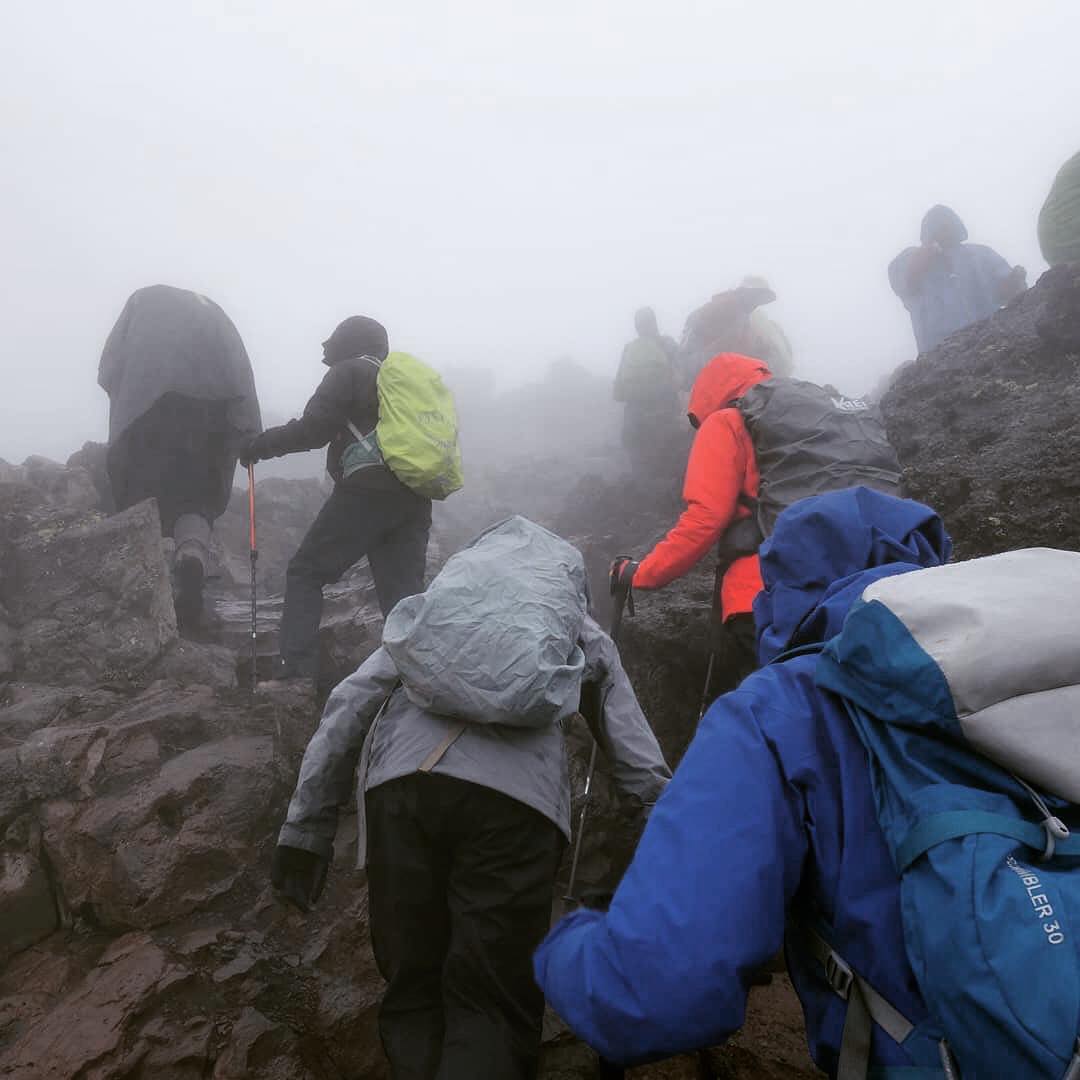
After breakfast, we begin by climbing the famous Barranco Wall. Some sections are steep and require careful footing, but your guide will help you move safely at a comfortable pace. From the top, the trail crosses a series of ridges and valleys before reaching Karanga Camp. It is a shorter day than the previous one, allowing time to rest, eat well, and prepare for the final approach to the summit.

Starting altitude: Approximately 3,960 m

Ending altitude: Approximately 4,035 m

Distance: Approximately 5–6 km

Trekking duration: 4–5 hours

Environment: Rocky ridges, steep sections, and alpine desert

Climate: Cool to cold, with wind and strong sunlight possible

Accommodation
Karanga Camp Campsite Mid-range
Inside Park Kilimanjaro National Park
Meals BreakfastLunchDinner Drinks Bottle Water
Day 6 Karanga Camp to Barafu Camp – Summit Preparation Main Destination: Mount Kilimanjaro

Today's walk takes us to Barafu Camp, our base for the summit attempt. The trail climbs through a stark, rocky landscape with little vegetation. Once at camp, you will have an early dinner and time to rest while your guide explains the summit schedule. Try to sleep early because the climb towards Uhuru Peak usually begins around midnight.

Starting altitude: Approximately 4,035 m

Ending altitude: Approximately 4,640 m

Distance: Approximately 4 km

Trekking duration: 3–4 hours

Environment: High-altitude alpine desert with rocky terrain

Climate: Cold, dry, and windy

Accommodation
Barafu Camp Camp Mid-range
Meals BreakfastLunchDinner Drinks Bottle Water
Day 7 Barafu Camp to Uhuru Peak and Descent to Mweka Gate Main Destination: Moshi town

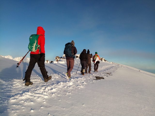
We leave Barafu Camp around midnight and begin the final climb toward Uhuru Peak. The trail is steep and challenging, especially in the cold and thin air, so we move slowly with regular breaks. We reach Stella Point on the crater rim before continuing to Uhuru Peak, at 5,895 meters—the highest point in Africa. After celebrating and taking photographs, we begin our descent to Barafu Camp for a short rest and refreshments. We then continue down through the mountain forest to Mweka Gate, where you will receive your summit certificate and meet our driver for the transfer back to your hotel in Moshi.

Starting altitude: Approximately 4,640 m at Barafu Camp

Summit altitude: 5,895 m at Uhuru Peak

Ending altitude: Approximately 1,640 m at Mweka Gate

Distance: Approximately 17–22 km

Trekking duration: Approximately 12–16 hours

Environment: Alpine desert, volcanic scree, summit glaciers, and rainforest

Climate: Freezing and windy during the summit climb, becoming warmer and more

Accommodation No overnight accommodation for this day.
Meals BreakfastLunch Drinks Bottle Water

What Is Covered

Inclusions & Exclusions

What's included
Park Fees
All Shown Activities
Meals & Drinks As Specified Day By Day
Accommodation During Safari
Professional Guide/Driver
All Listed Transport
All Taxes/VAT
Hotel Transfers
Accommodation Before/After Safari
Not included
International Flights
Staff Tips
Personal Expenses (Travel Insurance, Visa Fees Etc.)
Government Tax/Fee Increases
Domestic Flights
My wishlist 0 saved View all